Bottom-up Care for the City in Response to Social and Environmental Changes
By Laura Landau
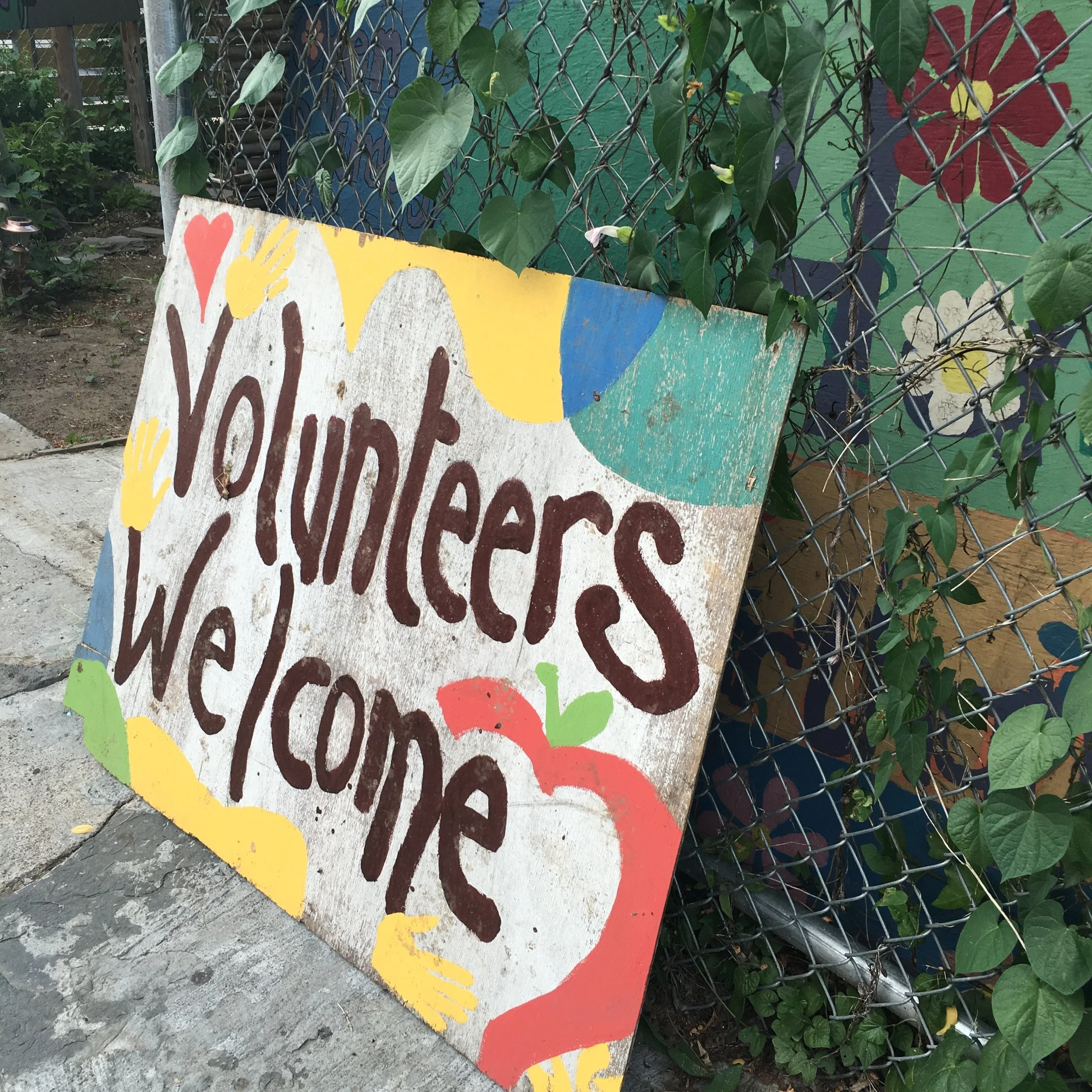
Today’s cities are rapidly growing and changing, facing existing challenges such as aging infrastructure, population pressures, and inequities, as well as a shifting climate and extreme weather events. As a result, city governments are challenged to meet rising demands, likely making open space a lower priority in budgetary decisions. Yet, neighborhood open space is often highly valued by local residents of all ages. Over the years, civic leaders and community members, many of whom take pride in their neighborhoods, have put time and energy into caring for and advocating for their local environment. We call this act of care urban environmental stewardship, and define it based on a series of different “functions” or ways of partaking in stewardship: conserving, managing, monitoring, educating on, advocating for and transforming the local environment (See Figure 1). Urban environmental stewardship is more than just taking care of the environment. It is a pathway towards community leadership based on civic action. People who come together around the shared love of a garden or neighborhood park steward not just that space, but also their relationships to one another--making them poised to organize around any number of issues impacting their community.
Figure 1: Images of the six stewardship functions.
Top row, from left to right: Conserve: community garden preservation sign. Photo courtesy of NYC Urban Field Station. Manage: volunteers at a MillionTreesNYC tree planting. Photo courtesy of NYC Parks. Monitor: volunteers monitoring an oyster research station. Photo courtesy of Billion Oyster Project.
Bottom row, from left to right: Educate: GrowNYC youth urban forestry education program. Photo courtesy of NYC Urban Field Station. Advocate: community gardeners protesting on the steps of City Hall. Photo courtesy of Edie Stone. Transform: volunteers with the Lower East Side Ecology Center bagging compost for delivery to NYC residents. Photo courtesy of LESEC.
The Stewardship Mapping and Assessment Project (STEW-MAP)
As researchers at the NYC Urban Field Station, a partnership between the US Forest Service and the NYC Parks Department, we strive to better understand the who, how, and why of environmental stewardship. The Stewardship Mapping and Assessment Project (STEW-MAP) originated in 2007 as an attempt to answer these questions and provide the city with the first database and publicly accessible online map of stewardship groups in NYC. STEW-MAP data were collected through an extensive and intensive process involving a survey sent to all civic groups of two or more people working in one of the stewardship functions listed above. The STEW-MAP survey collects data across three categories: organizational characteristics (including year founded, mission, and budget); stewardship turf, or the area where each group works; and social networks, the other groups that serve as partners, members, and collaborators. The data collected in 2007 was shared with the public via OASIS, and was used by city agencies, land managers, civic groups, scientists, and students. STEW-MAP raises the visibility of thousands of grassroots stewardship groups by literally putting them on a public map. In 2007, we found that 50% of groups in the database do not have 501(c)(3) status and 30% have budgets under $1,000. The map and database have facilitated collaborations, helped to connect previously siloed groups, and enabled groups to get recognition, resources, and power.
“STEW-MAP raises the visibility of thousands of grassroots stewardship groups by literally putting them on a public map.”
To date, the project has been replicated by U.S. Forest Service researchers and university partners in Chicago; Baltimore; Seattle; Philadelphia; San Juan, Puerto Rico; and Valledupar, Colombia; Los Angeles; Paris, France; Santo Domingo, Dominican Republic; North Kona and South Kohala, Hawaiʻi. STEW-MAP has been initiated in Portland, Maine; and Honoulu, Hawai’i. To learn more about the growing multi-city network, visit: www.nrs.fs.fed.us/urban/monitoring/stew-map/.
Continuing STEW-MAP Efforts
In 2017, we are updating NYC STEW-MAP data for the first time and expanding the study area to include the greater New York Metropolitan region (defined as the New York - Newark NY-NJ-CT-PA Combined Statistical Area). Within the five boroughs, established 501(c)(3) organizations such as parks conservancies and environmental non-profits, as well as smaller ‘friends’ groups and block associations, were sent the survey. The list of survey recipients in New York City was compiled with the help of over 55 “data providers,” or partner organizations who shared their stewardship group lists with us. In the larger region, we sent the survey to all registered not-for-profits with an environmental activity code or NTEE code in the IRS database. In all, the survey was sent to roughly 9,000 groups within NYC and an additional 3,000 in the region. Surveys were available both online and on paper through mail, and were translated into Spanish, Haitian Creole, Chinese, Korean, and Russian.
The 2017 survey was updated to reflect the changes that have occurred over the past ten years. Once the data is cleaned, we will we be able to compare individual group’s 2007 responses with their 2017 responses to understand how they have developed. The survey also has a series of questions about major impacts within the last ten years, so even groups who are completing the survey for the first time in 2017 will be asked to share their major accomplishments. An entirely new section of the survey asks groups to identify the extent to which specific events, city plans, and programs have influenced their work.
What’s Next for STEW-MAP
“In predicting our 2017 STEW-MAP results, we expect to see that many groups were impacted by Sandy, or perhaps even founded in reaction to Sandy, and we will aim to understand the ways in which that event and other shaped and shifted their organization missions.”
Since 2007 when the last STEW-MAP data was collected, New York City has changed dramatically, and we expect the stewardship landscape to reflect these changes. One of the most dramatic impacts on the city over the past decade was Superstorm Sandy, which blew across the city taking 43 lives and causing $19 billion in damage in NYC alone (SIRR Sandy and Its Impacts). Sandy caused New Yorkers, many for the first time, to pause and consider the future of the city in the context of our changing climate. Following the storm, many groups and organizations that were already concerned with environmental issues shifted their focus and their resources toward recovery, and began considering long-term resiliency and preparedness in anticipation of future climate disasters. In terms of government response, the Mayor’s Office of Recovery and Resiliency was created after Sandy in order to implement OneNYC, the city’s plan to support growth in an equitable and sustainable manner and to manage the municipality's handling of federal recovery dollars after Sandy. In predicting our 2017 STEW-MAP results, we expect to see that many groups were impacted by Sandy, or perhaps even founded in reaction to Sandy, and we will aim to understand the ways in which that event and other shaped and shifted their organization missions.
Other events that may have impacted stewardship groups include administration shifts, neighborhood rezonings, financial crises, and social movements. The last STEW-MAP data were collected before the 2008 recession, before the Occupy Wall Street and Black Lives Matter movements. More recently, there has been an added demand on public spaces to serve as sites of protest and demonstration, and many stewardship groups are responding by advocating for capital improvements toward this end. (e.g. the New Yorkers for Parks Civic Action Tracker and Public Realm Bill of Rights). At the same time, the Mayor Bill de Blasio administration’s prioritization of affordable housing has triggered many neighborhood-level changes, including upzoning and the potential of a renewed threat to community gardens, that stewardship groups are responding to firsthand.
Finally, the changes in the world of sustainable systems over the past decade have prompted the addition of “transform” as one of the primary stewardship functions on our survey. This accounts for all of the work going on at the systems level to transform the way we think about waste, food, and energy. Within the past ten years, composting has become significantly more mainstream, a reality that is reflected in the DSNY organics pickup pilot program. Many civic groups have adopted composting and compost education as key components of their practice and their mission. The food system has also gained considerable attention in the 2010s, leaving many New Yorkers more concerned about how and where their food was produced. The emergence of green roofs, farm-to-table restaurants, and locavorism has likely led to new stewardship groups and practices.
The past decade in New York City has brought about many changes that have impacted some people and places for the better and others, for the worse. In an ever-evolving and complex city, it can take time for government to respond to all needs at once. Meanwhile, stewardship groups are often on-the-ground and ready to react to the needs of an elderly neighbor or a garden plot. STEW-MAP aims to document, assess and share the work of everyday stewards working to create a stronger city. A city with a strong community fabric that will be prepared for whatever the next ten years will bring.


